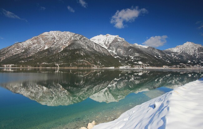
Maurach - Pertisau - Maurach
Important Infomation
Elevation Profile

Description
From the Atoll Achensee follow the cycle and footpath to the lakeshore. At “Seespitz” follow the lakeside promenade on the left to Pertisau. In summer alternatively you can cross the road at the jetty “Seespitz” and take the panoramic path through the forest. Follow the yellow signposts until you reach the valley station of the Karwendel cable car. If you continue walking to the restaurant “Langlaufstüberl” at the end of Pertisau, you have reached the entry to the Karwendel valleys.
The hiking trail along the lake is barrier-free. The way back is via the same route.