Pertisau - Rodlhütte - Bärenbadalm - Zwölferkopf - Pertisau
Important Infomation
🔖
Route Length
9.3 km
🜏
Elevation Gain
590 hm
🞍
Highest Point
1491 hm
🔲
Elevation Loss
590 hm
Time Uphill
02:00 h
Time Downhill
01:30 h
🏀
Route Time Total
03:30 h
🞽
Difficulty
Medium
Starting Point: Pertisau, valley station of the Karwendel cable car
End Point: Pertisau, valley station of the Karwendel cable car
Elevation Profile

Description
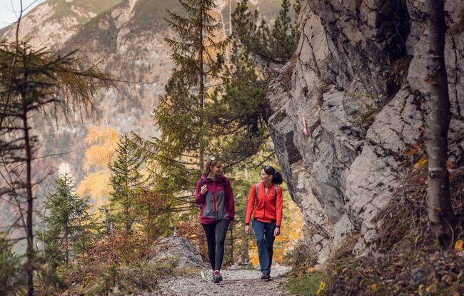
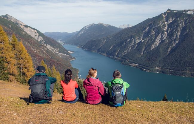
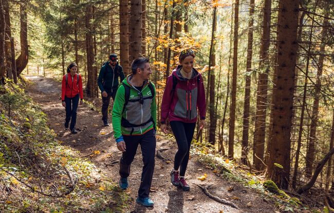
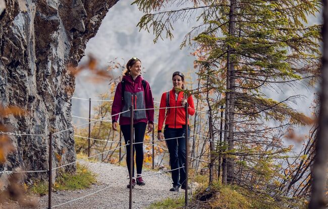
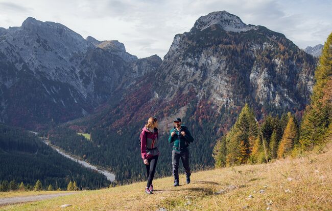
From the valley station of the Karwendel cable car, follow the signposts to the “Rodlhütte Pertisau". Shortly after the Rodlhütte, the hiking trail narrows into a small path towards the Bärenbadalm and the terrain becomes rocky and partially exposed (tunnel path). From the Bärenbadalm (1,457 metres), a 20-minute climb to the left takes you to the top station on the Zwölferkopf (1,491 metres) and to the Alpengasthaus Karwendel. The return is mostly via the same route. Alternatively, you can take the cable car down.