467 Krautried
Important Infomation
Elevation Profile

Description
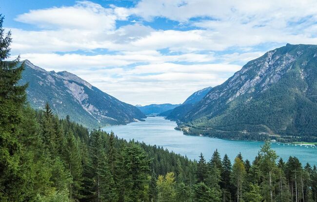
The Krautried route follows the same ascent as described in route 436 (panorama trail) before it branches off to the left. Climb the Krautried path by way of switchbacks along a scenic forest road (330 metres of elevation gain) until you arrive at the viewpoint Krautried. From here, walk your bike over the signposted section (across the ski slope) and join route 4005 – Zwölferkopf loop.