466 Rotwand-Bächental
Important Infomation
Elevation Profile
Description
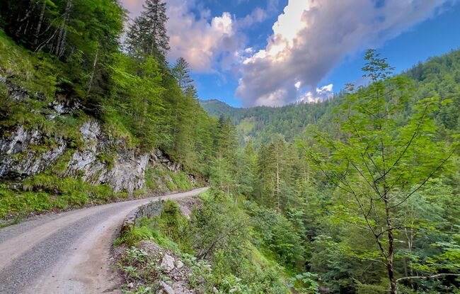
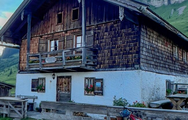
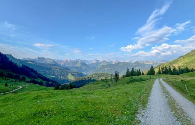
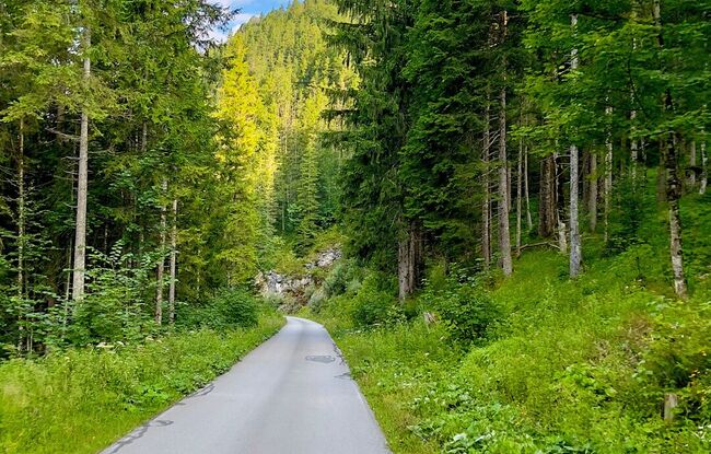
From the starting point, take the road via Brettersbergalm Hochleger to the Rotwandalm (1,525 metres) and from there to the Bächental. As you leave the valley, the route leads in the direction of Fall. Right before the Sylvenstein reservoir, follow the cycle path on the right to the Walchenklamm. The route links to the long-distance cycle path münchen venezia and the Achensee Cycle Path (route 29) and leads back to the car park "Hagenwirt" next to the Hagen chapel.


